Honduras Map Coloring Page – Fun and Educational Activity
895
Views
35
Prints
1
Saves
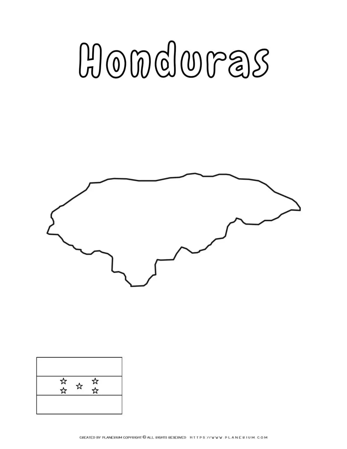
Discover the beauty of Central America with our engaging Honduras Map Coloring Page! 🇭🇳 Nestled between the Caribbean Sea and the Pacific Ocean, Honduras is renowned for its lush tropical forests and mountainous terrain. The climate varies from balmy coastal areas to cooler, misty highlands, making it a country of diverse natural wonders.
Grades
Third
Fourth
Fifth
Discover the beauty of Central America with our engaging Honduras Map Coloring Page! 🇭🇳 Nestled between the Caribbean Sea and the Pacific Ocean, Honduras is renowned for its lush tropical forests and mountainous terrain. The climate varies from balmy coastal areas to cooler, misty highlands, making it a country of diverse natural wonders.
Learn more about Honduras on Wikipedia.
Coordinates: 15.2° N, 86.2° W
Benefits & Learning:
- Skill Development: Enhances geographical knowledge and fine motor skills through coloring activities.
- Contextual Learning: Helps children and adults understand Central America’s geography, supplementing history and social studies lessons.
- Creative Relaxation: Offers a fun, stress-relieving activity for adults seeking a creative break.
- Interactive Pedagogy: Supports teachers’ and parents’ educational goals, making learning entertaining and effective.
🎨 Ideal for teachers, parents, homeschoolers, and adult learners, our Honduras Map Coloring Page provides a versatile tool for a variety of educational and leisure activities. For teachers, it’s a great resource to make geography lessons more interactive. Parents and homeschoolers can use it to supplement their geography curriculum, fostering a curious mind in children. Adult learners and coloring enthusiasts will appreciate a relaxing and informative activity that also sparks a sense of discovery.
Experience learning with a creative twist by incorporating this printable into your educational toolkit today!
More in this series
Create Teaching Content from This Printable
Use AI to turn this printable into a lesson plan or short story
Try ready-made lesson plans for this printable
Each generated item has its own shareable page.
No saved lesson plans yet – be the first to generate one.