India Map Coloring Page – Fun and Educational Activity for Kids
862
Views
23
Prints
0
Saves
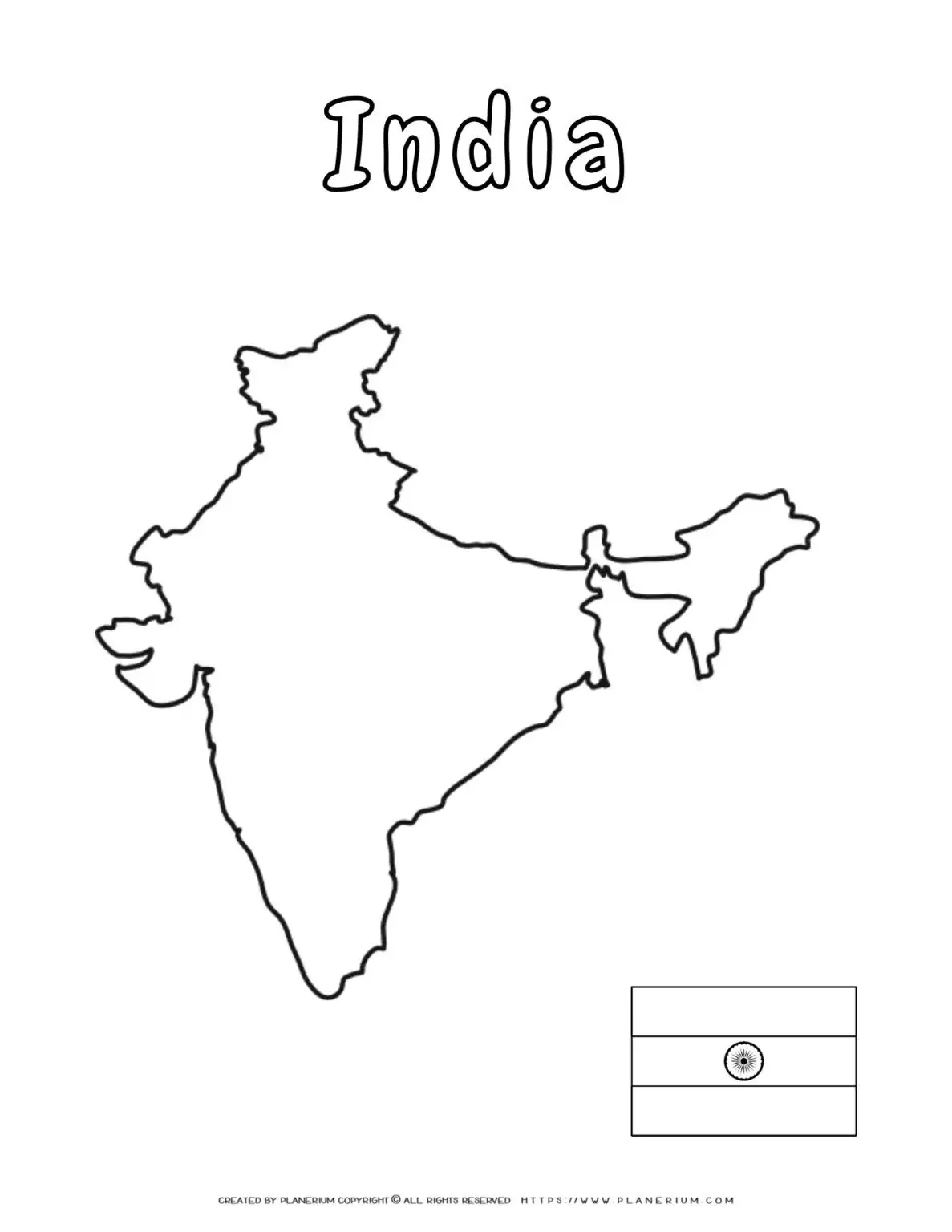
Discover the rich history and diverse beauty of India with our India-map-coloring-page, a perfect educational tool for all ages. 🇮🇳 India, located in South Asia, is the seventh-largest country by land area and the second-most populous country in the world. With its varied terrain ranging from the Himalayan mountains in the north to the coastal waters of Goa in the…
Grades
Third
Fourth
Fifth
Discover the rich history and diverse beauty of India with our India-map-coloring-page, a perfect educational tool for all ages. 🇮🇳 India, located in South Asia, is the seventh-largest country by land area and the second-most populous country in the world. With its varied terrain ranging from the Himalayan mountains in the north to the coastal waters of Goa in the west, India’s climate includes everything from monsoon rains to arid deserts.
Learn more about India on Wikipedia.
Coordinates: 20.5937° N, 78.9629° E.
Benefits & Learning:
- Geography Skills: Enhance understanding of India’s states, major cities, and geographical features.
- Cultural Appreciation: Explore the cultural diversity and historical landmarks through mindful coloring.
- Fine Motor Skills: For children, coloring improves motor skills and hand-eye coordination.
- Relaxation: For adults, coloring complex maps can be a relaxing and fulfilling activity.
Ideal For:
- Teachers: Utilize this printable to complement geography lessons and cultural studies in classrooms.
- Parents & Homeschoolers: A great resource for engaging children in fun, educational activities at home.
- Adult Learners: Perfect for those interested in geography or looking for a relaxing, creative hobby.
Integrate this india-map-coloring-page into your teaching toolkit or personal learning activities for a multifaceted educational experience. Let’s spark curiosity and appreciation for one of the world’s most fascinating countries together! 🌏📚🖍️
More in this series
Create Teaching Content from This Printable
Use AI to turn this printable into a lesson plan or short story
Try ready-made lesson plans for this printable
Each generated item has its own shareable page.
No saved lesson plans yet – be the first to generate one.